Map Data Explorer
iOS and Android AppMap Data Explorer is a Robust Advanced Mapping and Field Data Collection App Powered By Speedy MapBox Map and Vector Tiles
Powerful 2D/3D Mapping App that is Simple to Use
Fast & Responsible Map Powered by Vector Tiles
Tilt the Map Visualize 3D Terrain & View 3D Buildings
Digitize/Draw/Edit Vector Features – Save as GeoJSON
Data Collection Forms with JSON Schema and Form Designer
GPKG Attribute Table and SQLite Database Viewer
Advanced Forms with Form Designer and Digitize/Draw Features and Edit Attributes (output GeoJSON)
Stay With Us
🗸 Search – places, addresses
🗸 Advanced forms with form builder
🗸 Draw/Digitize Data Creation and Editing
🗸 Information Box for GeoJSON data
🗸 Measure linear and Area Distance
🗸 Geolocation & Coordinate Widget
🗸 Go to Lat Long Coordinates (Move the Map)
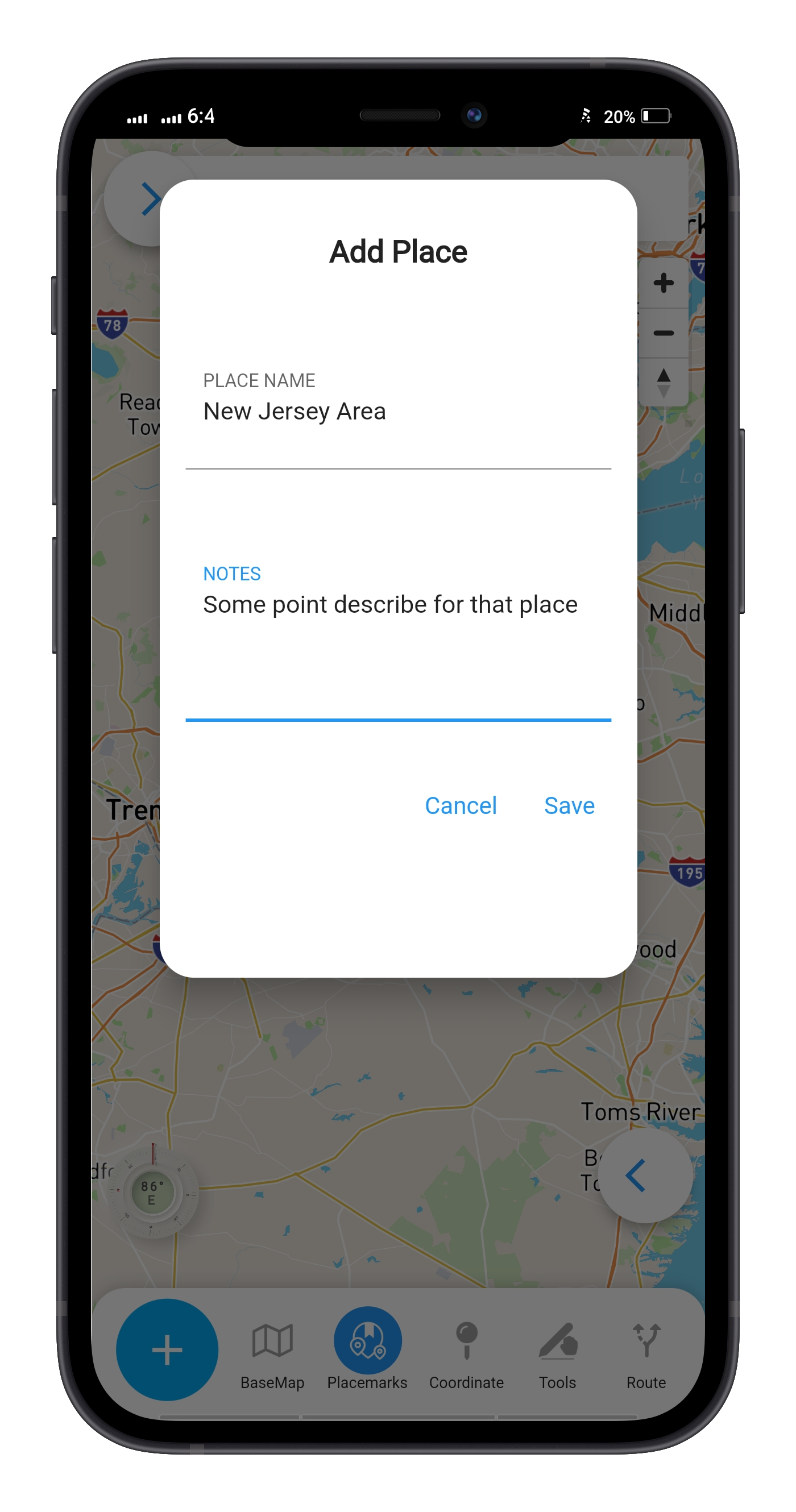
🗸 Placemarks (spatial bookmarks) with ability to import and export
🗸 View Spot Elevation
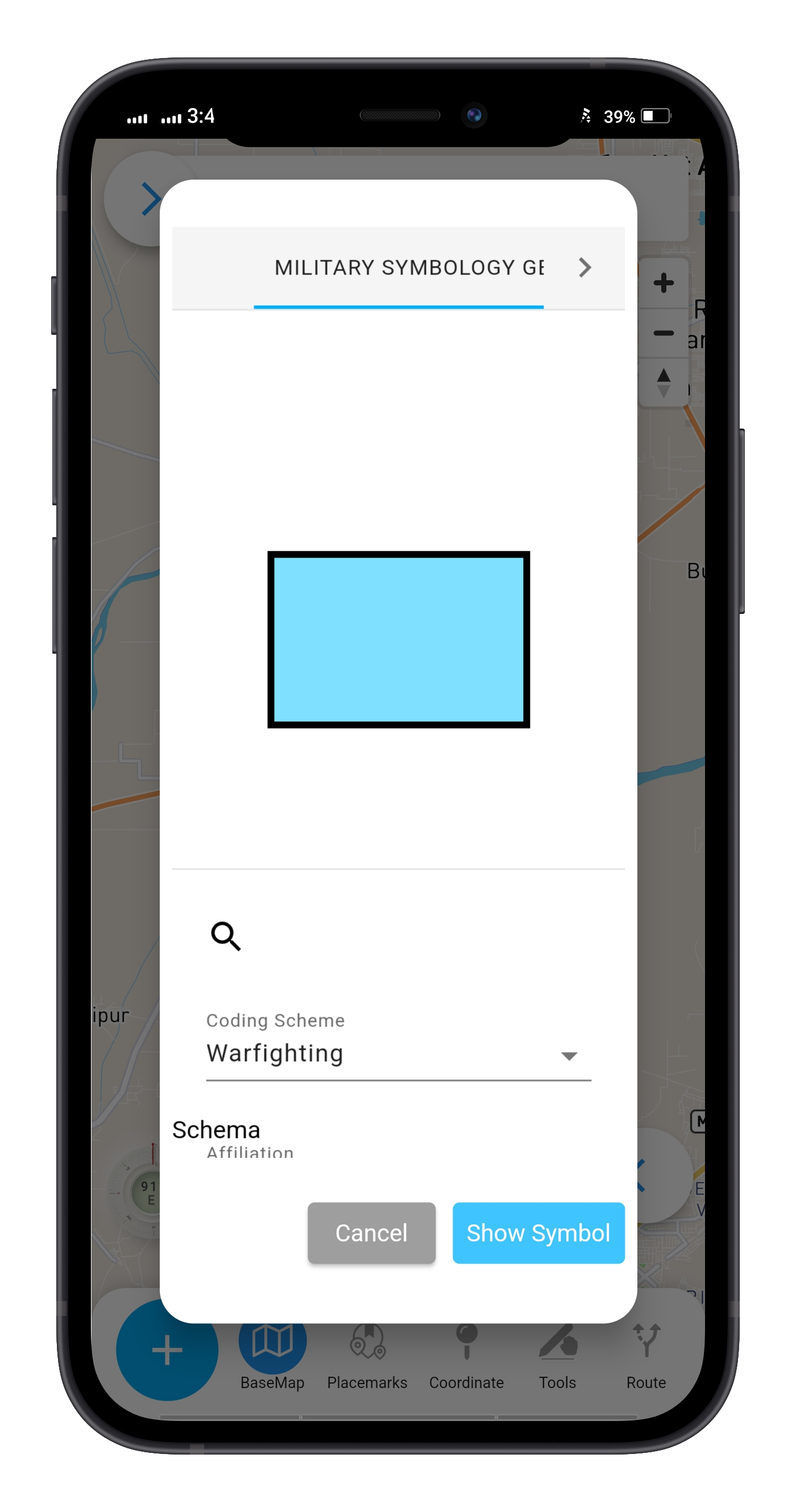
🗸 Display Military Symbology (App6/MilSpec2525C)
🗸 Display Location in MGRS – Military Grid Reference System
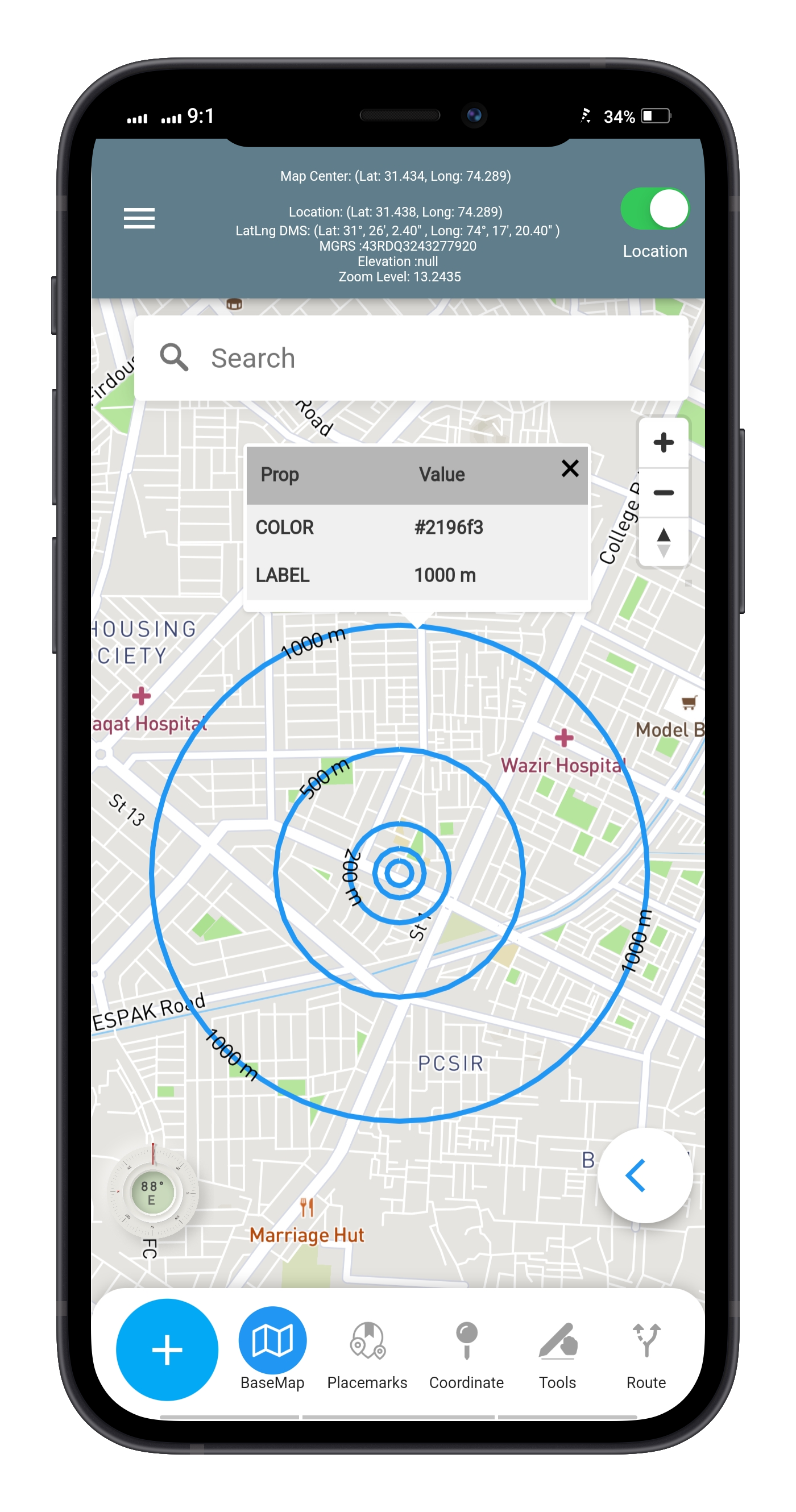
🗸 Radius Ruler/Range Rings
🗸 Coordinate Converter to/from many formats and Grids (MGRS & GARS)
Support for Online Map Data:

Vector GIS Data Coordinates and Attributes/Properties
Simple Style Spec & Big Marker Symbol Library
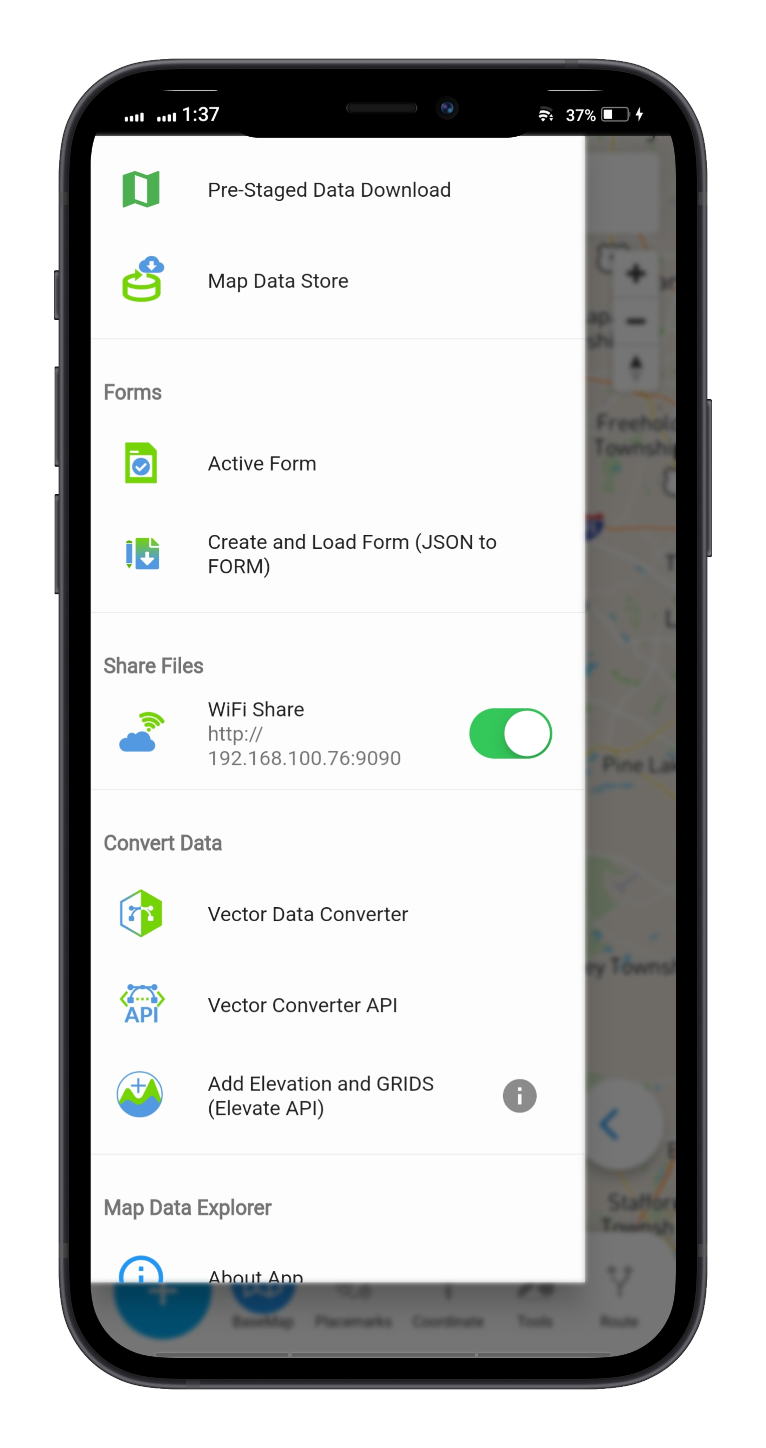
In-App Vector Converter to convert other formats

MBTILES Map Tiles
MBTILES
- Vector Tiles
- Raster Tiles
- Elevation/Terrain Tiles (Terrain-RGB & MapZen Terrarium)

OGC GPKG -GeoPackage
- Raster Tiles (3857 only)
- Vector Features as dynamic raster tiles with styling (4326 Only)
- Vector Tiles (3857 only)
- Elevation-Terrain Tiles (3857 only)

OpenMapTiles/MapTiler Data equivalent OSM vector tiles Styles/basemaps
MapBox Basemaps when connected to the internet
Support for Online Map Data:

WIFI Share

Placemarks

Range Rings


