Map Tools:
-
Search – places, addresses
-
Advanced forms with form builder
-
Draw/Digitize Data Creation and Editing
-
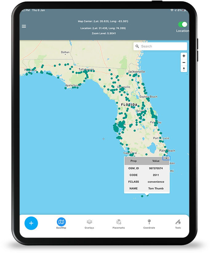
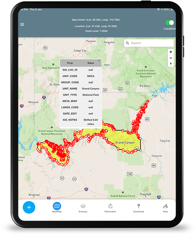
Information Box for GeoJSON data
-
Measure linear and Area Distance
-
Geolocation & Coordinate Widget
-
Go to Lat Long Coordinates (Move the Map)
-
Placemarks (spatial bookmarks)
-
View Spot Elevation
-
Display Military Symbology (App6/MilSpec2525C)
-
Display Location in MGRS – Military Grid Reference System
-
Radius Ruler/Range Rings
-
Coordinate Converter to/from many formats and Grids (MGRS & GARS)


Support for Offline Data:
-
GeoJSON
-
MBTILES Vector Tiles & Raster Tiles & Elevation/Terrain Tiles
-
OGC GPKG -GeoPackage Raster Tiles 3857 only
-
PreConfigured for OpenMapTiles/MapTiler Data equivalent OSM vector tiles Styles/basemaps
Coming Soon:
-
GPKG Vector Features & ESRI Mobile Geodatabase SQLite database formats
-
in-app Vector Data Conversion with support for ESRI FileGDB, ESRI PersonalGDB, ESRI Shapefile, KML, GPX, MapInfo Tab, other formats to GeoJSON
-
COG -GeoTIFF Raster Imagery
-
OGC 3D Tiles (Batched b3dm, Instanced i3dm, Point Cloud PNTS)
-
3D Model – GLB – GL Binary Transmission Binary Format & in-app 3D Model Converter
Support for Online Map Data:
- Online hosted GeoJSON
- Online Basemaps from OSM Vector Tiles and MapBox and Other sources:
-
Coming soon to 1.1 version: (user Loaded URL’s)
- Raster Tile Basemaps and Vector Tile Basemaps
-
OGC WMS
-
OGC WFS
-
ESRI MapServer
-
ESRI ImageServer as WMS
-
ESRI FeatureServer
-
ESRI VectorTileServer
-
Raster Tiles (XYZ and OGC WMTS)
-
PBF Vector Tiles with stylesheet
-
nline hosted 3D Models glb
-
Online hosted OGC 3DTILES
Coming Soon
- COG GeoTIFF
